Mission-ready GEOINT infrastructure with total control.

Defence programs face unprecedented demand for timely, high-quality ISR. Arlula deploys a modular, mission-aligned platform that unifies tasking, delivery, data standardisation, and secure sharing – at mission speed.

Intelligence delivered at mission speed

Unified workflows and automated orchestration ensure critical intelligence reaches the right people at the right moment.

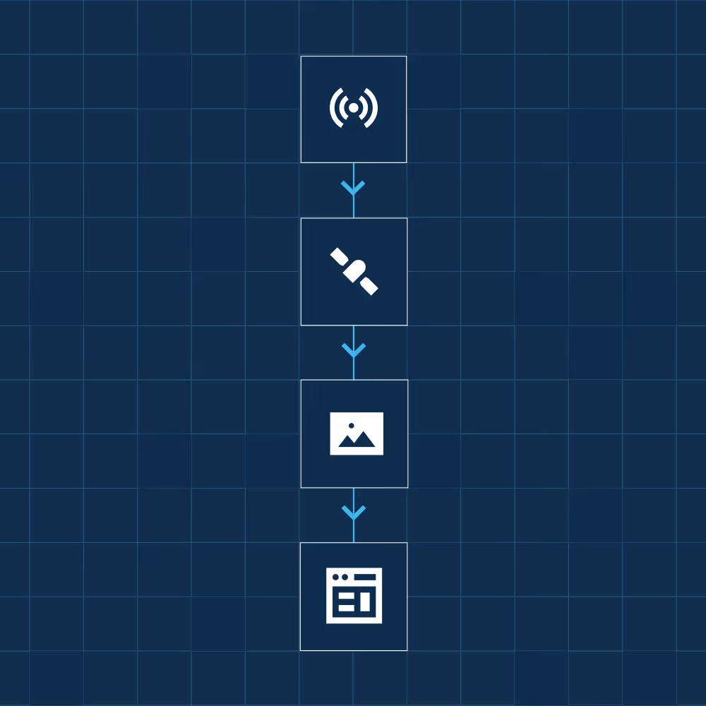
Real-time visibility of every satellite asset

Enable analysts to capture the right imagery at the right moment, with zero wasted spend.

Sensor alerts that automatically trigger tasking

Close the loop between detection and collection automatically, reducing response times and operational risk without manual coordination.

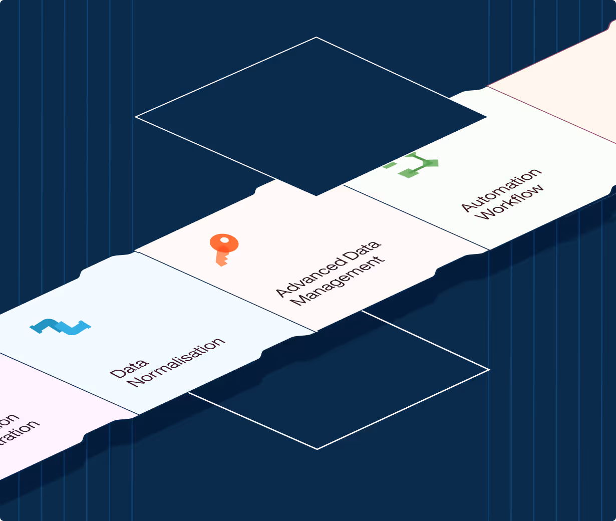
A unified operating picture across all assets

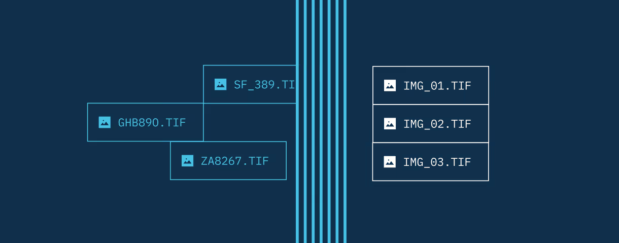
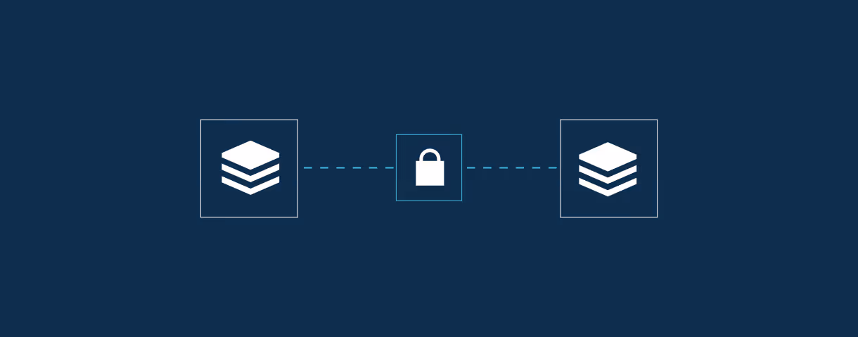
Bring classified and commercial data together in a single, secure workflow. Eliminating duplication and cross-domain security risk.

One mission ready  infrastructure layer

Arlula bridges legacy ISR gaps and automates the entire GEOINT pipeline. It unifies orchestration, data normalisation, automation, fulfilment, and secure dissemination into a single operational control layer.

Deploy what you need

Deploy modules across mission nodes or joint commands

Integrate with what you have

Geostack is an API-first architecture aligned with existing ISR systems

Built for scale and security

Geostack is STAC-aligned and deployable in secure cloud or on-prem

Common ways defence teams use Arlula

Geostack is deployed to unify fragmented ISR systems, automate mission workflows and deliver intelligence without replacing your existing infrastructure.

Autonomous tasking from mission triggers

Automatically cue satellite collections from ground sensors, ISR alerts, or mission events. Instead of analysts manually routing requests between systems, Arlula connects trigger conditions directly to tasking workflows, ensuring collection happens in real time.

Unified asset visibility across domains

Maintain live visibility of all available commercial and classified satellite assets through a single control interface. Eliminate blind spots created by siloed systems and ensure analysts always know what capacity is available before collection windows close.

AI-ready, standardised delivery

Convert multi-source imagery into standardised, STAC-aligned formats that feed directly into analytic engines, AI models and mission planning systems. Remove manual reformatting and metadata inconsistencies that break automation pipelines.

Secure cross-domain coordination

Task, deliver, and share imagery across classified and commercial systems without compromising security. Enforce usage controls, permissions, and audit trails while maintaining mission speed across distributed commands.

Built for organisations running high-consequence operations

At Arlula, security, governance and auditability are not add-ons. They are foundational.

Book a call

End-to-End Encryption

TLS 1.3 in transit, AES-256 at rest.

Full Audit & Event Trails

Every access logged. Every event traceable.

ISO 27001 Infrastructure

Built to internationally recognised security standards.

Sovereign Cloud Deployment

Public and private cloud deployments across vendors including Azure, AWS, and GCP.

How it works in practice

A modular ISR pipeline in one operational layer.

End-to-end mission event to intelligence delivery

Arlula unifies the full ISR workflow into a structured, automated pipeline using multiple modules. Rather than stitching together disparate tools, defence teams operate through a single infrastructure layer that preserves security while accelerating tempo.
  • Optimise collection schedules across commercial and allied assets

  • Standardise imagery into interoperable, STAC-aligned formats

  • Automate tasking from mission events and sensor triggers

  • Enable zero-touch fulfilment and delivery tracking

  • Enforce secure, compliant dissemination across domains

Mission-ready GEOINT

Live visibility of asset availability
Autonomous tasking from mission triggers
Structured, AI-ready data delivery
Unified tasking and fulfilment
Secure usage control
Cross-domain interoperability
Arlula is backed by institutional and strategic investors, including Lockheed Martin and is designed as long-lived infrastructure that outlasts individual projects, vendors, and constellations.
Our investors

Arlula operates at scale

200M+sq km
of satellite imagery delivered
150+ formats
spatial data formats supported

Most conversations start with understanding your current systems, workflows and constraints to see how Arlula can empower your team.