Wyvern Satellite Imagery
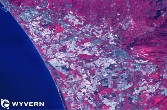
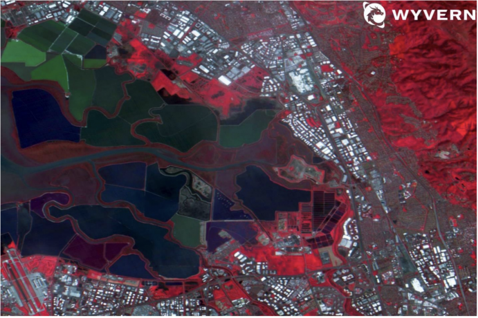
Wyvern is the leading provider of high-quality hyperspectral imagery data. As the first to the commercial market, Wyvern’s Dragonette constellation reveals invisible insights to a wide variety of industries with a focus on affordability, capability and convenience.
Launched in June 2023, Dragonette-001 is the highest-resolution hyperspectral commercial satellite.
Sensor: 23 band hyperspectral.
Spectral Resolution: 20 nm- 32 nm
GSD: 5.3 m
Use cases: Agriculture, mining, forestry, defence
Revisit frequency: Up to 2.1 days.
Pricing: View updated pricing table.
File type: Cloud-Optimised GeoTIFF.
Status: On orbit – new collections & archive available.
Dragonette-002 is the second satellite in Wyvern’s first commercial hyperspectral constellation.
Sensor: 31 band hyperspectral.
Spectral Resolution: 445 nm- 869 nm
GSD: 5.3 m
Use cases: Agriculture, mining, forestry, defence
Revisit frequency: Up to 2.1 days.
Pricing: View updated pricing table.
File type: Cloud-Optimised GeoTIFF.
Status: On orbit – new collections & archive available.
Launched in November 2023, Dragonette-003 is the third satellite in Wyvern’s first commercial hyperspectral constellation.
Sensor: 31 band hyperspectral.
Spectral Resolution: 445 nm- 869 nm
GSD: 5.3 m
Use cases: Agriculture, mining, forestry, defence
Revisit frequency: Up to 2.1 days.
Pricing: View updated pricing table.
File type: Cloud-Optimised GeoTIFF.
Status: On orbit – new collections & archive available.


