SpaceWill Satellite Imagery
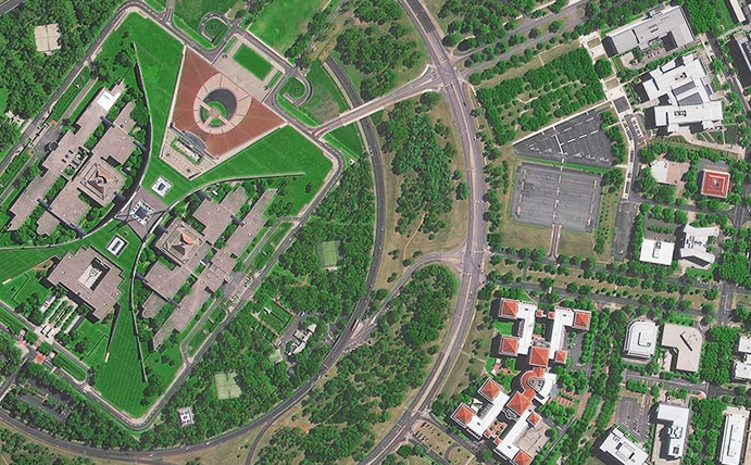
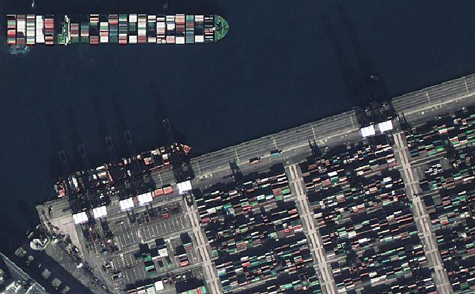
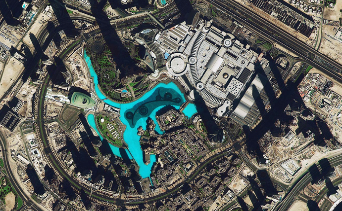
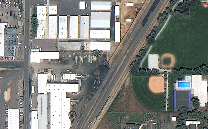
Based in China, SpaceWill initiated their SuperView-1 constellation with their first launch in 2017 followed by a second in 2018. This is just the beginning of what is planned to be a 16 satellite constellation featuring a variety of uncommon sensor types such as synthetic aperture radar (SAR), video and hyperspectral. Their current satellites offer high quality, high resolution panchromatic and multispectral imagery at competitive price points.
First launched in 2016, SUPERVIEW-1 is an expanding constellation of high resolution satellites that will eventually offer video and hyperspectral.
Sensor: Panchromatic and 4 band multispectral.
Resolution: 50cm (pan) and 2m (ms).
Use cases: Design & planning, monitoring, agriculture.
Revisit frequency: Up to 1 day.
Pricing: From $14.00 per sq km.
File type: Bundled GeoTIFF.
Status: On orbit – new collections & archive available.


