SIIS Satellite Imagery
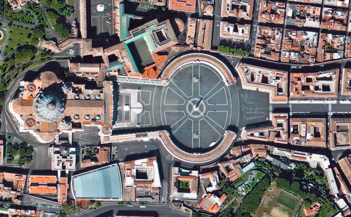
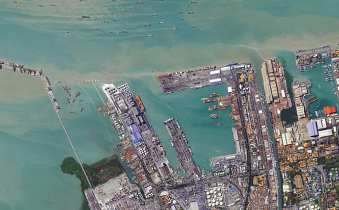
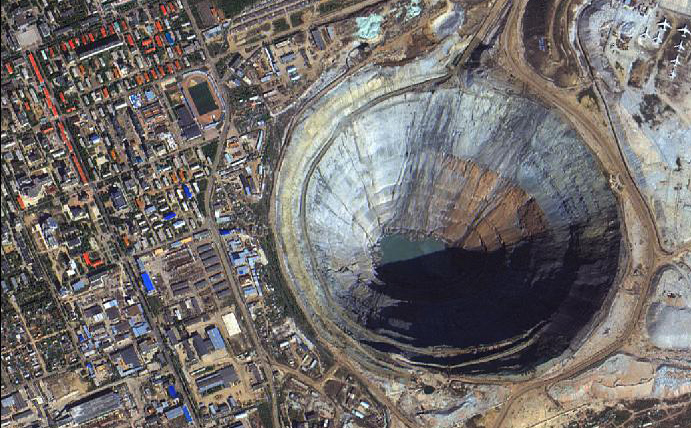
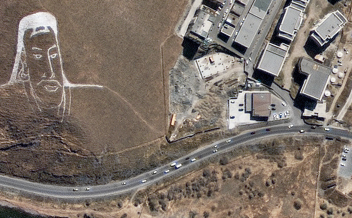
SI Imaging Services (SIIS) is based in Korea and is an industry leading satellite imagery provider for Earth observation data. SIIS operates the KOMPSAT series of satellites which produce very high resolution Panchromatic and Multispectral imagery, as well as Synthetic Aperture Radar (SAR) data. If you’re looking for very affordable high resolution Earth observation data, then SIIS’s KOMPSAT satellites will likely fit your needs. The Arlula API has standardised SIIS data product types for enhanced accessibility.
KOMPSAT-2 was launched in 2006 and has built a unique and extensive archive of high resolution imagery due to length of its mission timeframe.
Sensor: 4 band multispectral (RGB + NIR)
Resolution: 1m (pan) and 4.64m (ms).
Use cases: Design & planning, monitoring, agriculture.
Revisit frequency: Up to 1.4 days.
Pricing: View updated pricing table.
File type: Pansharpened GeoTIFF.
Status: On orbit – new collections & archive available.
Launched in 2012, KOMPSAT-3 offers a high resolution 14-bit depth sensor providing higher level of analysis accuracy.
Sensor: 4 band multispectral (RGB + NIR).
Resolution: 50cm (pan), 2m (ms)
Use cases: Agriculture, asset monitoring.
Revisit frequency: Up to 1.4 days.
Pricing: View updated pricing table.
File type: Pansharpened GeoTIFF.
Status: On orbit – new collections & archive available.
Launched in 2015 as this most advanced EO satellite, KOMPSAT-3A continues the tradition of very high quality imagery.
Sensor: 4 band multispectral (RGB + NIR).
Resolution: 40cm (pan), 1.6m (ms).
Use cases: Design & planning, insurance, agriculture.
Revisit frequency: < 1 day.
Pricing: View updated pricing table.
File type: Pansharpened GeoTIFF.
Status: On orbit – new collections & archive available.


