
News
Arlula Closes $2.2 Million Seed Round to Enable Global Space Data Access
Arlula is excited to announce it has successfully raised $2.2 million in seed funding, allowing us to expand access to Earth Observation data at scale.
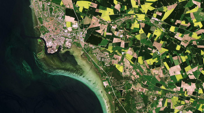
Why is satellite imagery useful?
Satellites have revolutionised how the Earth is monitored by providing high-res imagery from space. This makes them an essential tool in understanding and managing the planet.
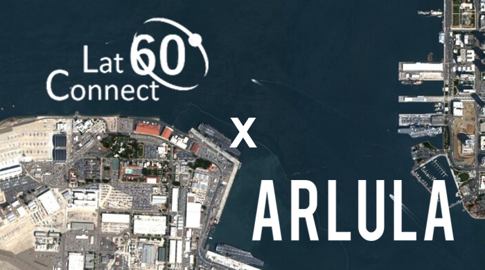
Australian startups deliver industry first imaging capabilities
Australian spacetech startups Arlula and LatConnect 60 team up to deliver industry first on-demand satellite imaging capabilities drastically improving user experience.
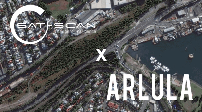
Sat-Scan WestConnex construction oversight
By combining satellite imaging technology with data analytics tools, Sat-Scan can empower local residents and help save their properties from destruction caused by public construction projects.
Agtuary connects farmers and banks through space technology
Agtuary is a fintech company leveraging space data, creating analytics and processes to provide farmers, valuers, brokers, banks and investors common ground and a common language.
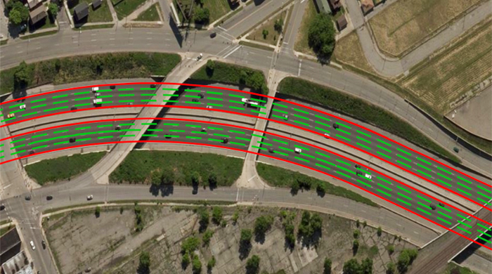
Satellite Imagery & Autonomous Vehicles
The level of development achieved by applying new technologies to the transport industry is quickly shaping a future landscape where fully autonomous vehicles will populate the highways of the world.