
News
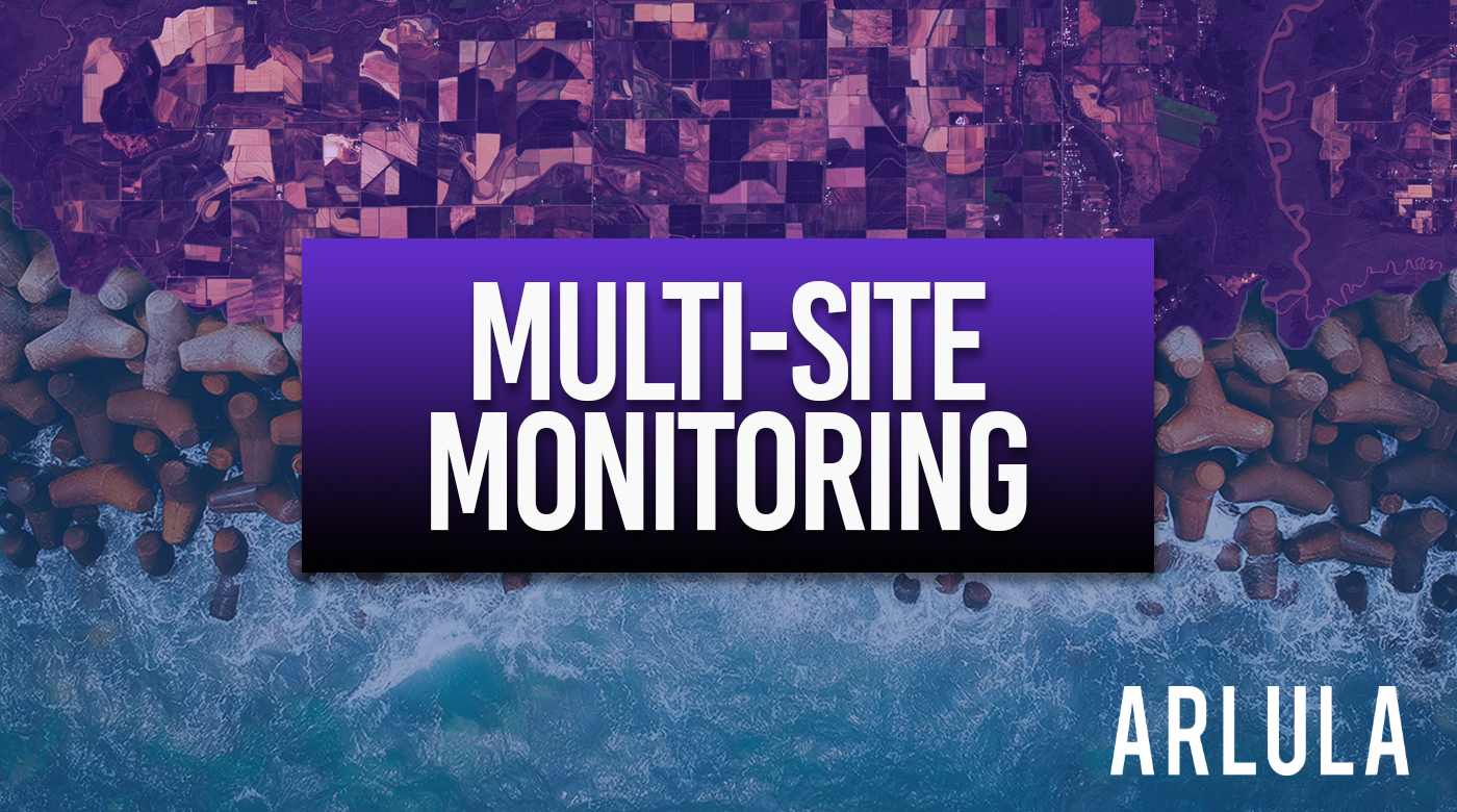
Multi-Site Monitoring with New Satellite Imagery
Multi-site monitoring harnesses timely and regular satellite imagery across multiple AOIs, offering a more efficient alternative to conventional monitoring practices.
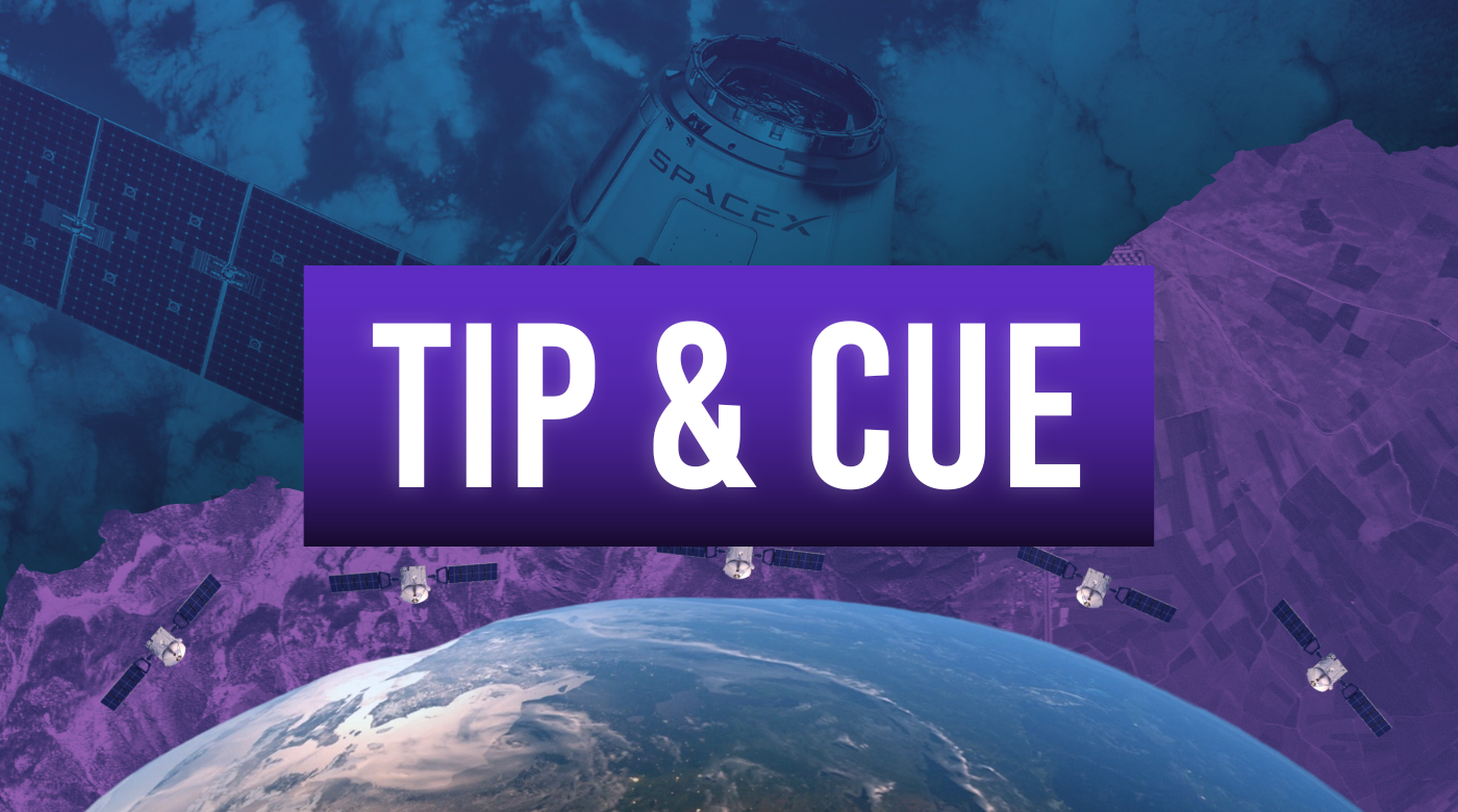
Elevating Insight: Tip and Cue with On-Demand Satellite Imagery
Tip and Cue optimises monitoring over large and remote areas of interest by coordinating sensor systems to detect and capture changes as they occur for industries such as bushfire management, agriculture, and object detection.
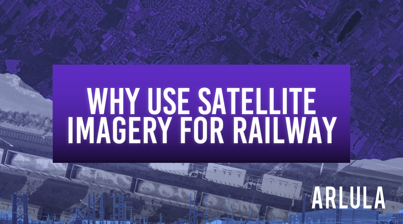
3 Ways Satellite Imagery Can Empower the Rail Industry
Satellite imagery offers a unique perspective to gain insights and solve problems in rail corridor management, vegetation encroachment, and incident response. Here, we will look at 3 ways satellite imagery can power your critical rail decisions anytime, anywhere along the tracks.
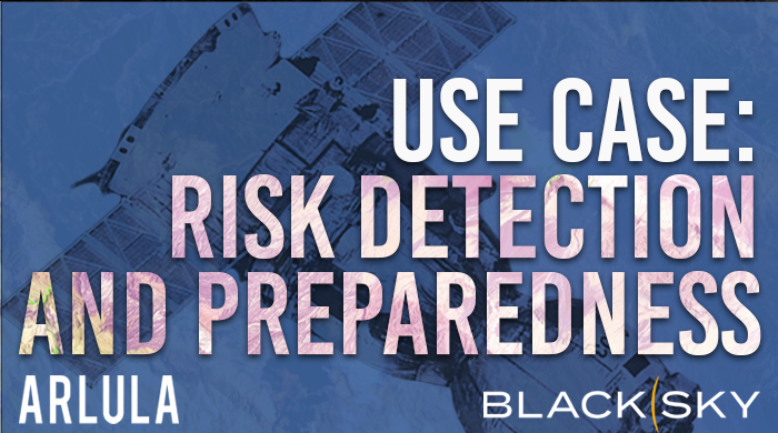
Leveraging BlackSky’s On Demand Satellite Imagery for Early Risk Detection and Preparedness
Observe the applications of Arlula’s Geostack platform, particularly the unique access to BlackSky’s large satellite constellation, to address common natural disaster threats to the state of Queensland.
Arlula Teams Up with BlackSky to Offer On-Demand Real Time Space Based Intelligence
Arlula is thrilled to announce a transformative partnership with BlackSky, a leading provider of space-based geospatial intelligence.
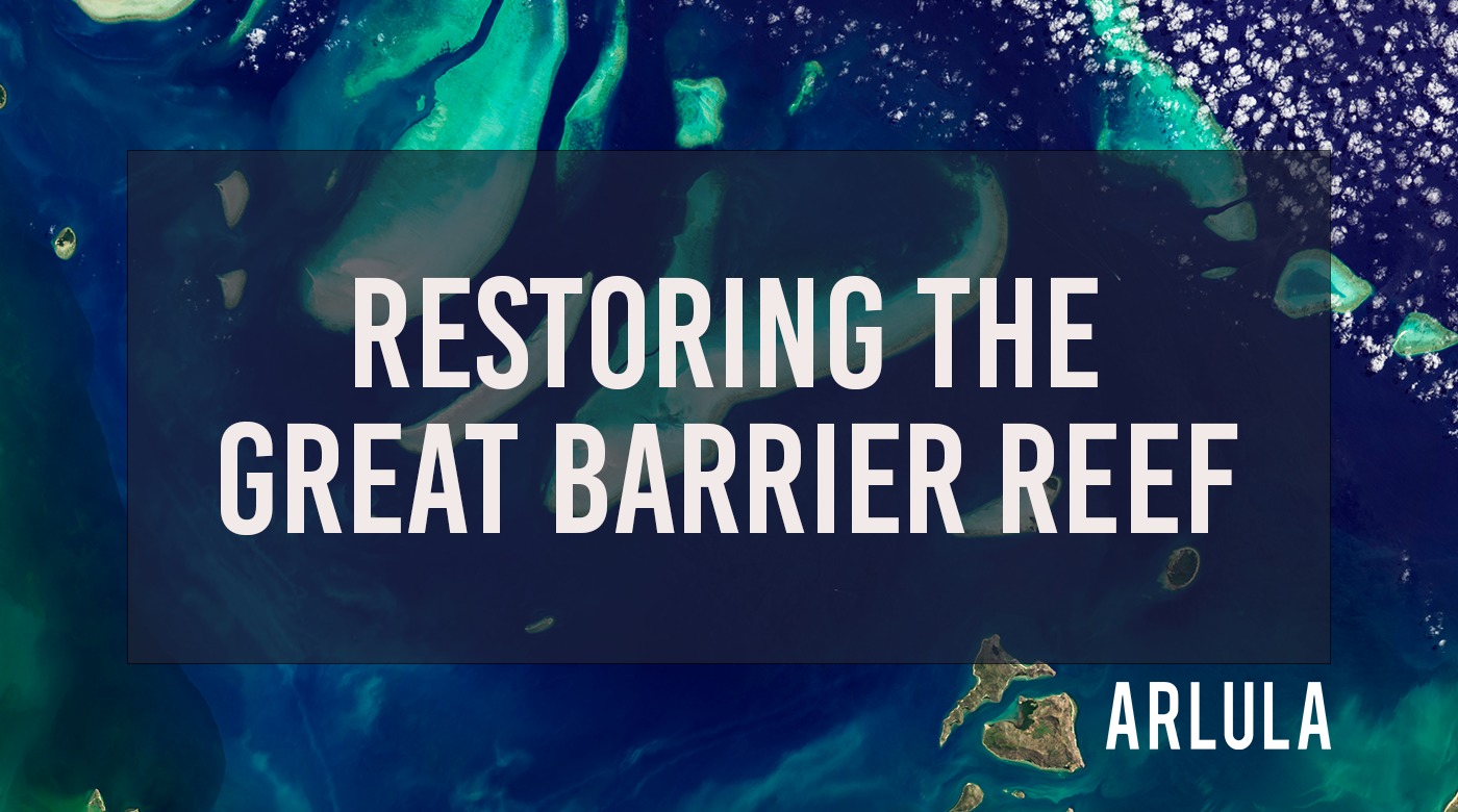
3 Ways Satellite Imagery Can Help Restore the Great Barrier Reef
Satellite Imagery as well as a data management platform are invaluable assets to address complex ecological challenges and enhance our ability to make decisions for a sustainable future.