News
How to Get the Most Out of Your Satellite Data
This guide covers important considerations when purchasing satellite data to ensure you get the best imagery for your needs.
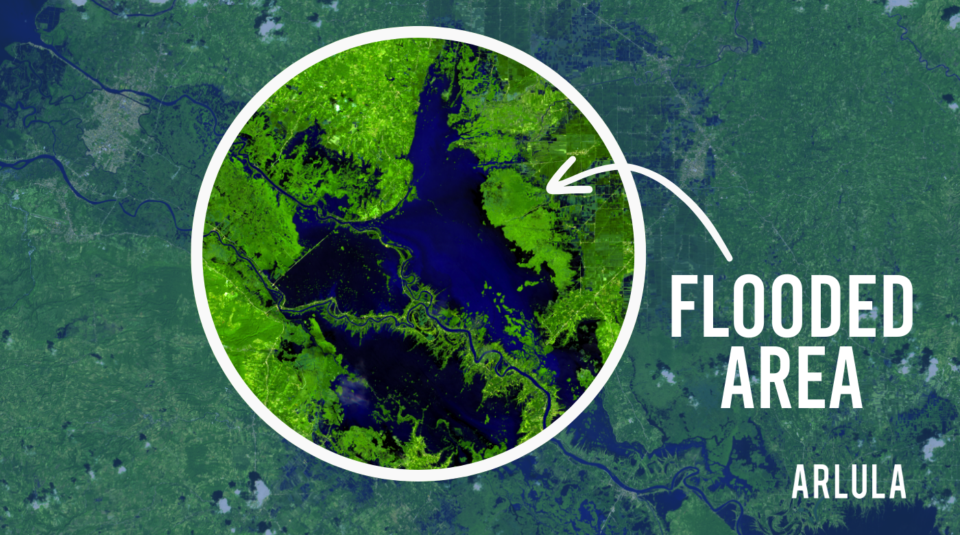
The Impact of Monsoon Season Examined Through Satellite Imagery
Examining the impact of monsoons with new satellite imagery. With insights from Philippines, Myanmar, and Sri Lanka images.
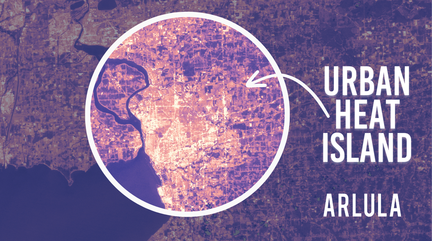
Tackling the Urban Heat Island Effect with Satellite Imagery
Discover how satellite imagery can help to address the urban heat island effect by observing how three distinct regions- Western Sydney, Minnesota, and London- are impacted.
Satellite Tasking vs. Archive
Here, we’ll outline what satellite tasking and satellite archive are, how it works and how to decide which one is right for you!
Australian Space Agency Funding For Arlula EO Project
Arlula has received significant grant funding to fuel its ambitious Automated Satellite Imaging Programmes project
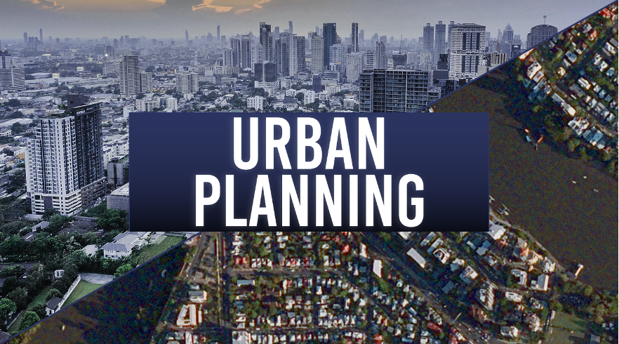
Building Better Cities: The Role of On-Demand Satellite Imagery in Urban Planning
Satellite imagery offers a unique perspective to gain insights and solve problems in activity analysis, infrastructure planning, and regulation enforcement. We will explore 3 ways that satellite imagery can help create and maintain liveable cities.


