
News
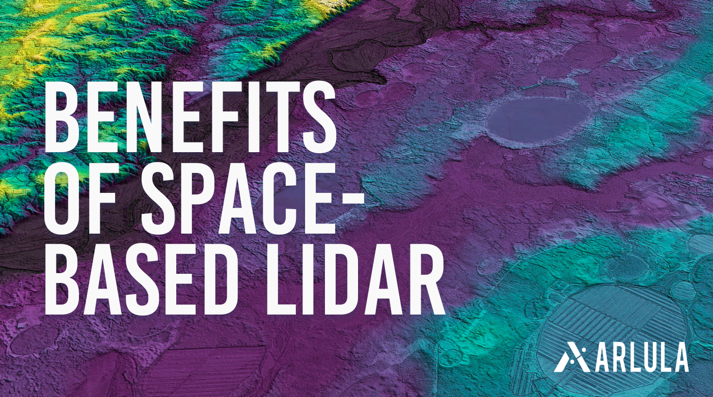
Space-Based LiDAR: Revolutionising the Environmental, Infrastructure and Agriculture Industries
Explore how NUVIEW is revolutionising the environmental, infrastructure and agriculture industries with space based LiDAR.

Axelspace and Arlula Announce Integration for Enhanced Satellite Imagery Access
Arlula, a leading platform for accessing satellite data, is excited to announce its partnership with Axelspace, a leading Japanese provider and a pioneer of microsatellite technology.
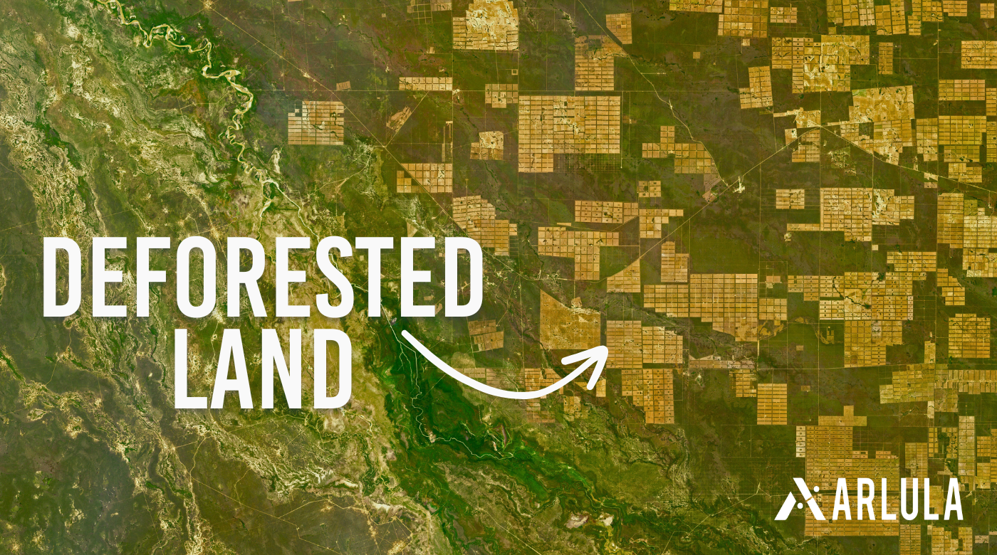
How Satellite Imagery Assists in Reforestation Strategies
Discover how high-resolution satellite imagery supports reforestation efforts, from monitoring deforestation to planning and implementing reforestation projects, with case examples.
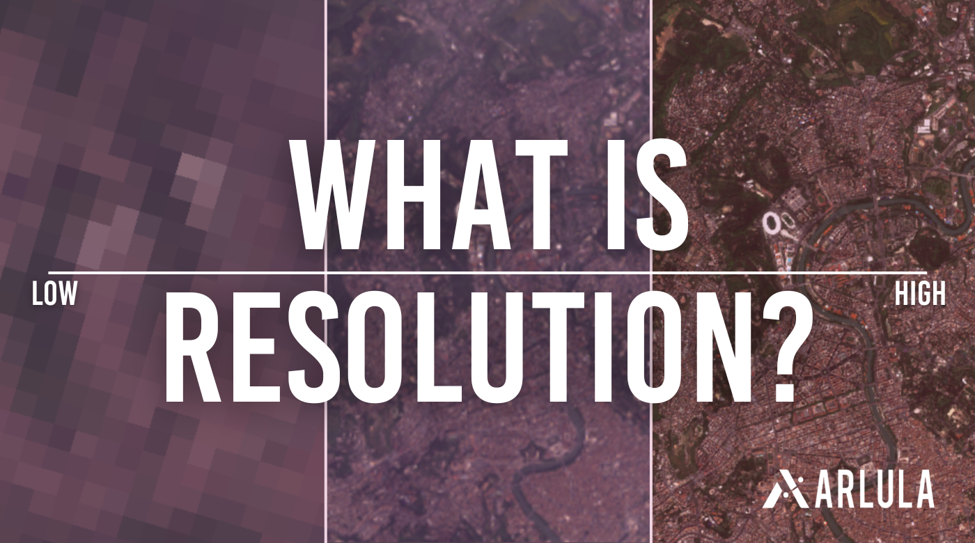
Imaging Insights: A Guide to Resolution
When preparing to purchase satellite data or viewing imagery, resolution is a common term you will come across. Here, we will break down what “resolution” as a broader term means.

Arlula’s Geostack Application Now Available in Saber’s Space Application Marketplace for US Space Force
Arlula has received significant grant funding to fuel its ambitious Automated Satellite Imaging Programmes project

Why Satellite Imagery is a Game-Changer for Agriculture
Satellite imagery is revolutionising the agricultural industry, providing farmers with real-time data and insights to help them make better decisions about monitoring crops and land.