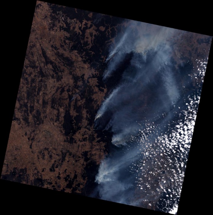
Monitoring Australian Bushfires from Space
As communities are experiencing the effects of climate change in Australia and around the world, people are looking for solutions that can help us better predict, prepare for and address the impacts of severe weather events. Australia is currently experiencing the worst fires on record and effective monitoring solutions are critical. One way for individuals and community leaders to understand the scale and impact of these fires is to utilise available satellite imagery.
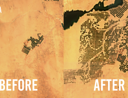
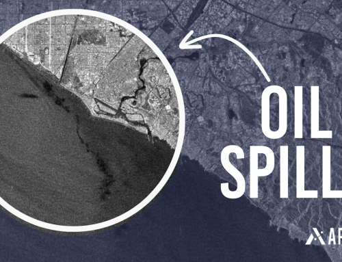
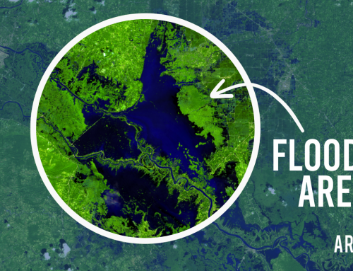
New satellite images of locations from around the world are constantly being collected by hundreds of different public and private satellite operators. These images have the potential to help inform decision making processes, highlight damage caused by fires and alert people to potential hazards that could hamper rescue efforts and clean up efforts. By combining satellite imagery with other useful data sources it enables people to create a variety of useful applications that can provide value in many different ways.
At Arlula, we’ve found some amazing applications that utilise satellite imagery and are capable of providing information on the current bush fires in Australia. It goes without saying though, that if you’re under threat from bushfires you should always follow the advice and direction provided by local emergency services. These application suggestions are a starting point for those looking to derive non time critical insights from free data sources.
Blue Mountains, NSW Dec 2019 — Landsat 8, Arlula API
NASA FIRMS:
NASA FIRMS is an app developed by NASA that provides access to near real time information on emerging fire threats from around the world. This application is simple to use and is incredibly useful in extracting detailed information on where fires may be. NASA FIRMS provides useful features such as information alerts and fire markers to indicate where fires are currently burning.
Bureau of Meteorology (BOM) Satellite Viewer:
The BOM satellite viewer provides you with access to real time satellite imagery over Australia through a handy portal. The satellite that the BOM uses is constantly orbiting over Australia which means that it can provide new images at high frequency. The downside is that the images are lower resolution and do not provide you the ability to zoom into an image very much. This tool could be useful for monitoring fire movement over time.
Sentinel Hub — Playground:
The Sentinel Hub playground is a European app that allows you to explore the latest satellite imagery captured from ESA satellites. The images are of a high resolution and allow you to zoom into cities. This can provide you with a good idea of what the environment on the ground may have recently looked like during an emergency. Sentinel Hub provides new imagery updates at a rate of roughly once per week.
Commercial Options:
All of the apps we’ve discussed allow you to explore satellite imagery online and are free to access. Newer commercial satellite operators provide ultra high resolution satellite imagery that allows users to make out fine details in an image and can be useful when a high degree of accuracy is needed. There are many satellite operators that provide this level of imagery such as Maxar and SI Imaging.
At Arlula, our mission is to provide people with fast, online access to the best satellite imagery. By helping organisations create new applications using data coming from space, we believe that it could greatly benefit people and potentially even save lives in emergencies.
For more information or to get involved please contact us.