Geostack for Sovereign EO

A secure data procurement and management solution

The management of geospatial intelligence has become a challenging endeavour hindered by cumbersome procurement processes, complex EO data distribution systems, and inefficient integration into existing workflows. This inefficiency is an expensive challenge, impacting user access to the right data to meet their needs.

Sovereign EO Solutions

  • Access Critical Data

    Easily access the right satellite imagery from multiple vendors to inform mission-critical decisions and avoid having to spend months negotiating access to different satellite operator archives and tasking services.

  • Reduced Ongoing Expenses

    Reduce inefficiencies and costs in EO data procurement by consolidating your vendor pipeline.

  • Streamlined Data Management

    Our integrated solution allows users to effortlessly download and share EO data within your team and broader organization all from the Arlula platform.

  • Secure Data Acquisition

    Advanced security features designed specifically for satellite imagery protection.

Geostack Features

Geostack provides a solution to pressing sovereign EO challenges. Arlula’s software-driven solution makes it easy to securely find and procure the right EO data for your needs, streamlines order management, and enhances automation putting your data to work for you.
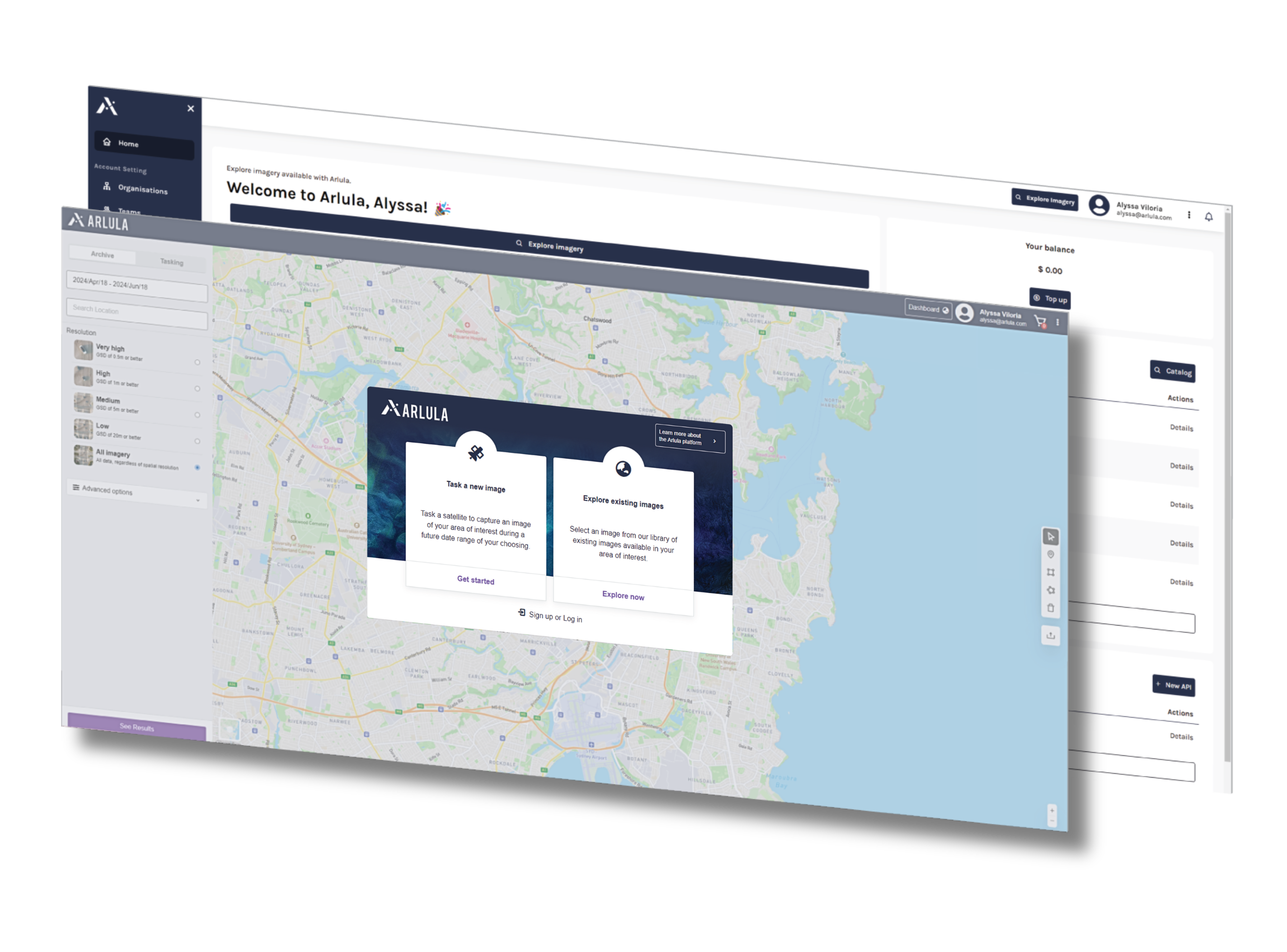
  • Aggregated Procurement with Premium Suppliers

  • Advanced Licensing (Government, Enterprise).

  • Advanced APIs (dedicated monitoring, streaming & collections)

  • Centralized Data Collection Management Service

  • Advanced User, Policy & Billing Management

  • Custom Ingestion & Processing of 3rd Party Datasets

  • Advanced Organizational Management Controls

  • Enterprise Customer Support

Get access to Geostack

If you’d like to learn more about the application of Arlula’s Geostack product for government, please register your interest in the contact form and we’ll get in touch with you.