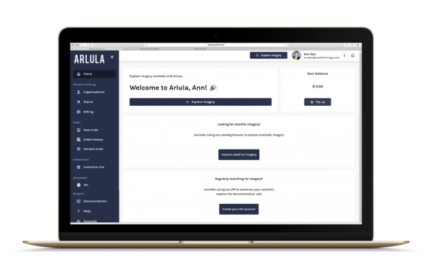
A Secure GEOINT Solution
Simplified geospatial data management and sharing
The management of geospatial intelligence has become a challenging endeavour hindered by cumbersome procurement processes, complex GEOINT data distribution systems, and inefficient integration into existing workflows. This inefficiency is an expensive challenge, impacting user access to the right data to meet their needs.
That is where Arlula’s Geostack comes in.
Geostack provides a solution to these pressing challenges. Arlula’s software-driven solution makes it easy to securely catalog and index your GEOINT data, streamlines order management, and enhances automation putting your data to work for you.

Geostack Features
Get access to Geostack
If you’d like to learn more about the application of Arlula’s Geostack product for government, please register your interest in the contact form and we’ll get in touch with you.

