Geosat Satellite Imagery
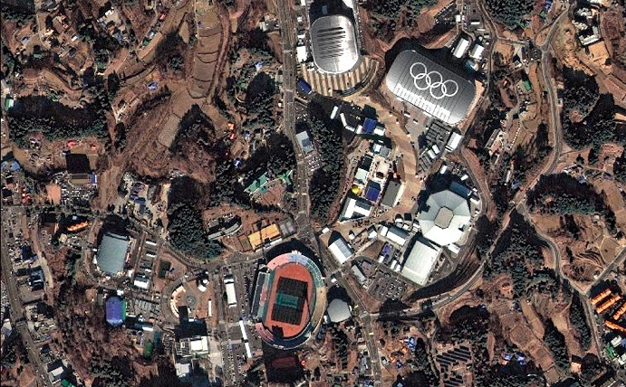
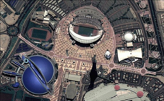
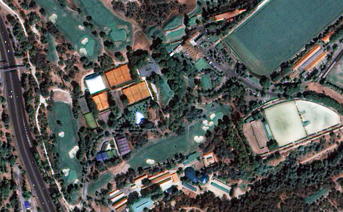
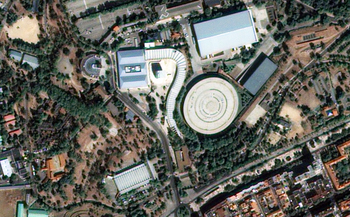
The GEOSAT-2 satellite was purchased from Spanish company Elecnor in 2021 by Geosat. It provides a versatile high resolution 75cm 4 band imagery sensor that produces imagery for a broad range of applications. Geosat also provides extensive imagery archives in addition to responsive tasking capabilities for new captures.
Launched in 2014, Geosat-2 (previously known as Deimos-2) is a cost effective high resolution 4-band multispectral commercial satellite.
Sensor: 4 band multispectral (RGB + NIR).
Resolution: 75cm (pansharpened)
Use cases: Agriculture, design & planning, monitoring.
Revisit frequency: Up to 2 days.
Pricing: View pricing page.
File type: Pansharpened GeoTIFF.
Status: On orbit – new collections & archive available.


