Geospatial Data Suppliers

Maxar
If your project requires the highest resolution imagery available, then MAXAR’s WordlView-3 and WorldView-4 satellites will likely suit your need. The Arlula API has standardised Maxar data product types for enhanced accessibility.
BlackSky
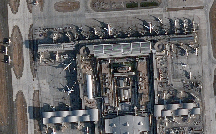
BlackSky offers industry leading high resolution “dawn-to-dusk” imagery tasking up to 15 times per day, day or night, allowing them to capture activity no one else sees.

SIIS
SIIS operates the KOMPSAT series of satellites which produce very high resolution Panchromatic and Multispectral imagery, as well as Synthetic Aperture Radar (SAR) data. If you’re looking for very affordable high resolution Earth observation data, then SIIS’s KOMPSAT satellites will likely fit your needs.
Wyvern
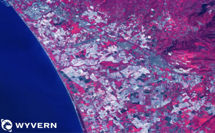
Wyvern is the leading provider of high-quality hyperspectral imagery data. As the first to the commercial market, Wyvern’s Dragonette constellation reveals invisible insights to a wide variety of industries with a focus on affordability, capability and convenience.
21AT
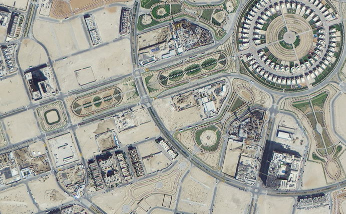
21AT operates a constellation of three high resolution Earth observation satellites (TripleSat-1, 2 and 3) that provide imaging capabilities on a daily basis anywhere on the globe. A very large archive is available dating back to 2016.
LC60
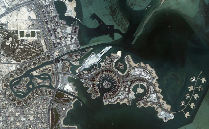
Founded in 2019, LC60 is Australia’s first commercial Earth observation satellite company. Currently operating an 80cm EO satellite capturing data across Asia Pacific, their planned next generation satellite constellation will expand imaging capabilities exponentially.
GEOSAT
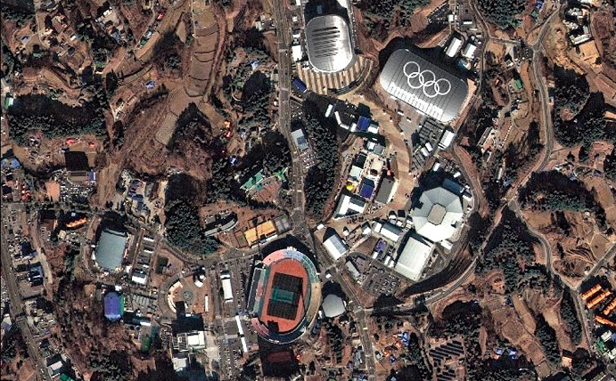
The GEOSAT-2 satellite was purchased from Spanish company Elecnor in 2021 by Geosat. It provides a versatile high resolution 75cm 4 band imagery sensor that produces imagery for a broad range of applications. Geosat also provides extensive imagery archives in addition to responsive tasking capabilities for new captures.
NASA
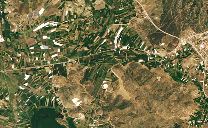
The Landsat Program is a series of Earth-observing satellite missions jointly managed by NASA and the U.S. Geological Survey. Beginning in 1972 the program has amassed an unmatched archive of imagery with the optimal resolution and spectral bands to track land use, and document land change due to climate change, urbanization, drought, wildfire, biomass changes, and other natural and human-caused changes.

ESA
Operated by ESA, the Copernicus Sentinel-2 mission comprises a constellation of two polar-orbiting satellites (launched in 2017 and 2017), placed in the same sun-synchronous orbit, phased at 180° to each other. Its spectral bands, swath width and revisit times are optimised to monitor variability and changes in land surface conditions.
As a marketplace, our pricing is based on our curation of the top global operators. Several factors determine the cost of each image, such as resolution, license type, minimum order quantity (MOQ), and price per kilometre. To obtain a more comprehensive overview of different satellites and providers, please consult the table provided.


