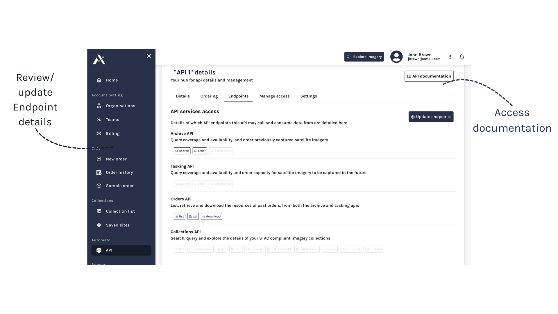
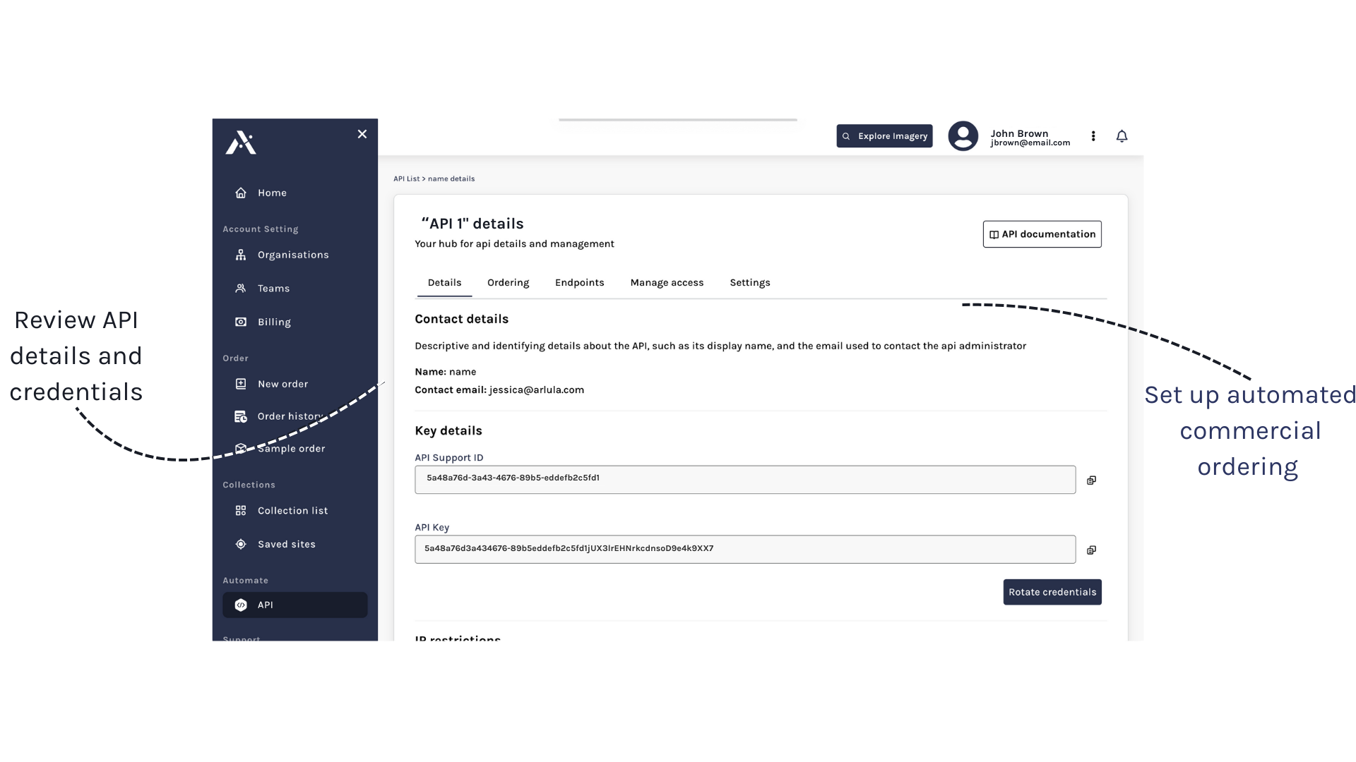
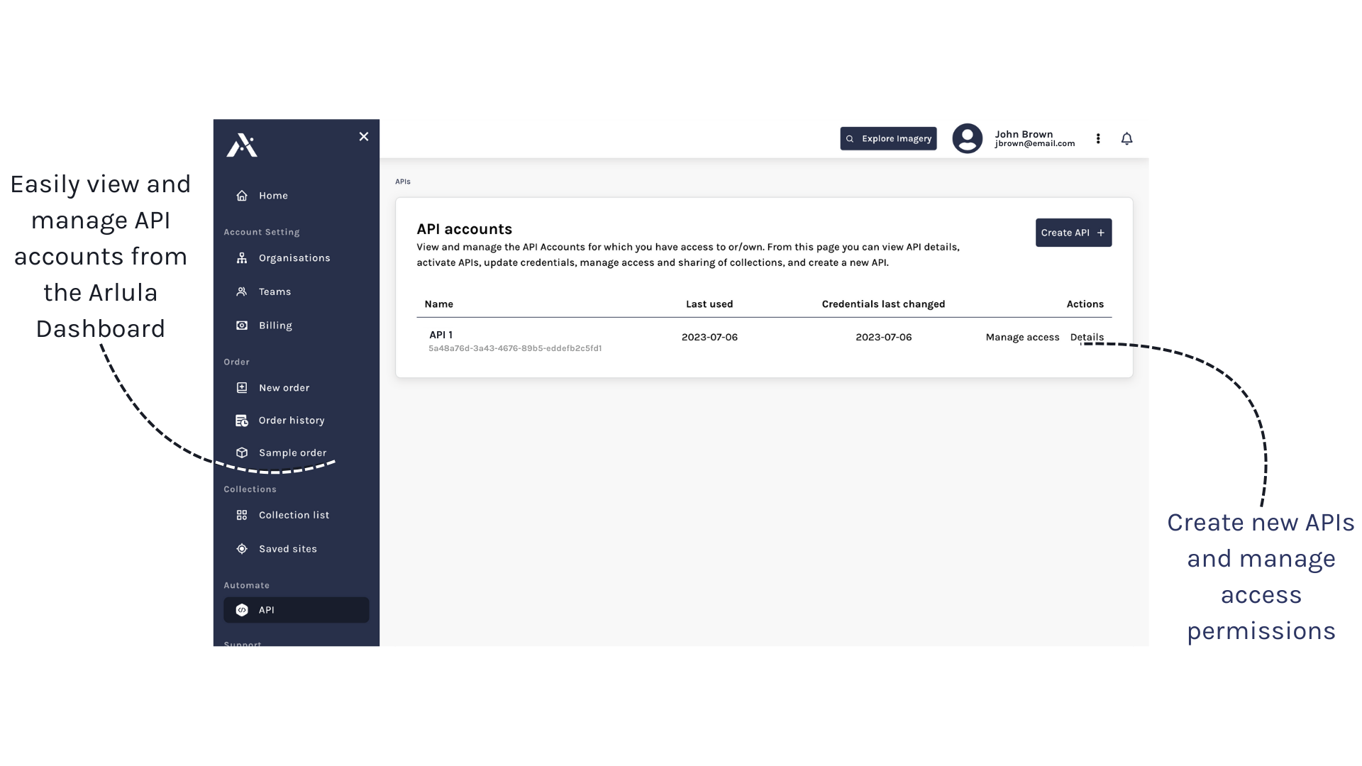
Managing Satellite data shouldn’t be difficult.

Arlula provides a single integration point for a global network of satellite imagery. This allows users to gain automated, scalable and high volume satellite imagery data on demand.

  • Simple and scalable.
  • Modular

  • Easy integration.

Accessing Satellite data shouldn’t be difficult.

Arlula provides a single integration point for a global network of satellite imagery. This allows users to gain automated, scalable and high volume satellite imagery data on demand.

  • Simple and scalable.
  • Easy integration.
  • Transparent pricing.

Get started with the Arlula API

By using simple post and get requests you can search and order satellite imagery on demand via the Arlula API.

To access the Arlula API open beta, simply follow the steps below.

SDK’s and developer tools

The Arlula API aggregates a global network of satellite suppliers into one integration point. Search and order data from a range of free and commercial satellites on demand and at scale via our API.

View our API documentation >
View our open source PyPackage >
View our open source NPM package >

Access multiple datasets

The Arlula network is constantly expanding with both free and commercial satellite imagery. The API currently provides access to 18 satellites, with new datasets being integrated regularly.

Gain access to the Arlula API open beta program >

Access multiple datasets

The Arlula network is constantly expanding with both free and commercial satellite imagery. The API currently provides access to 18 satellites, with new datasets being integrated regularly.

Gain access to the Arlula API open beta program >

How can we help you?

If you’d like to learn more about Arlula’s API products, please connect with us via the form below and we’ll be in touch.


    By submitting this enquiry, you give consent for Arlula to store and process your above personal information to handle your enquiry in line with our Privacy Policy.