21AT Satellite Imagery
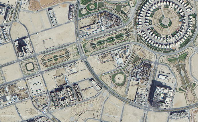
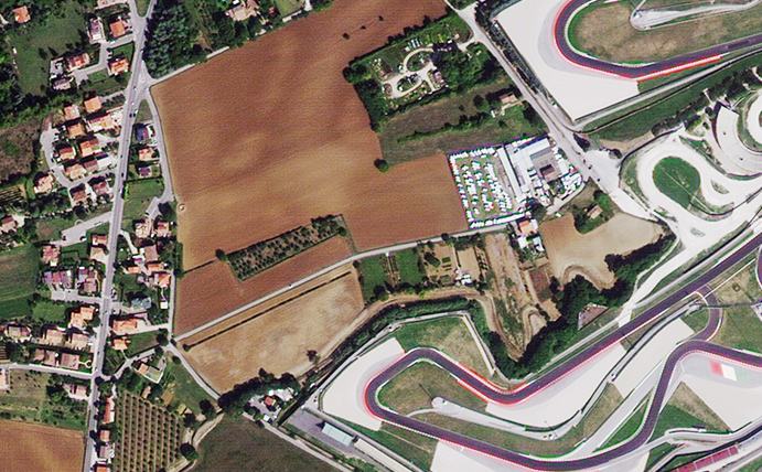
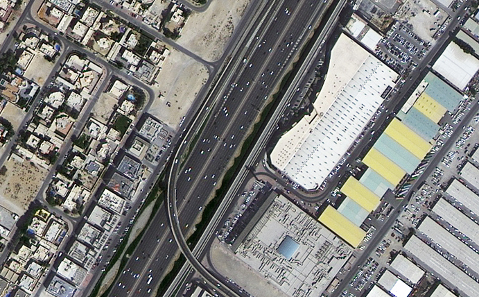
21AT operates a constellation of three high resolution Earth observation satellites (TripleSat-1, 2 and 3) that provide imaging capabilities on a daily basis anywhere on the globe. A very large archive is available dating back to 2016. Arlula works with 21AT to offer 1km2 minimum order quantities, providing very affordable imagery options for a range of use cases.
The TripleSat constellation consists of 3 satellites offering daily revisit times.
Sensor: 4 band multispectral (RGB + NIR).
Resolution: 80cm (pan), 3.20m (ms)
Use cases: Design & planning, insurance, agriculture.
Revisit frequency: Daily.
Pricing: View updated pricing table.
File type: Pansharpened GeoTIFF.
Status: On orbit – new collections & archive available.


