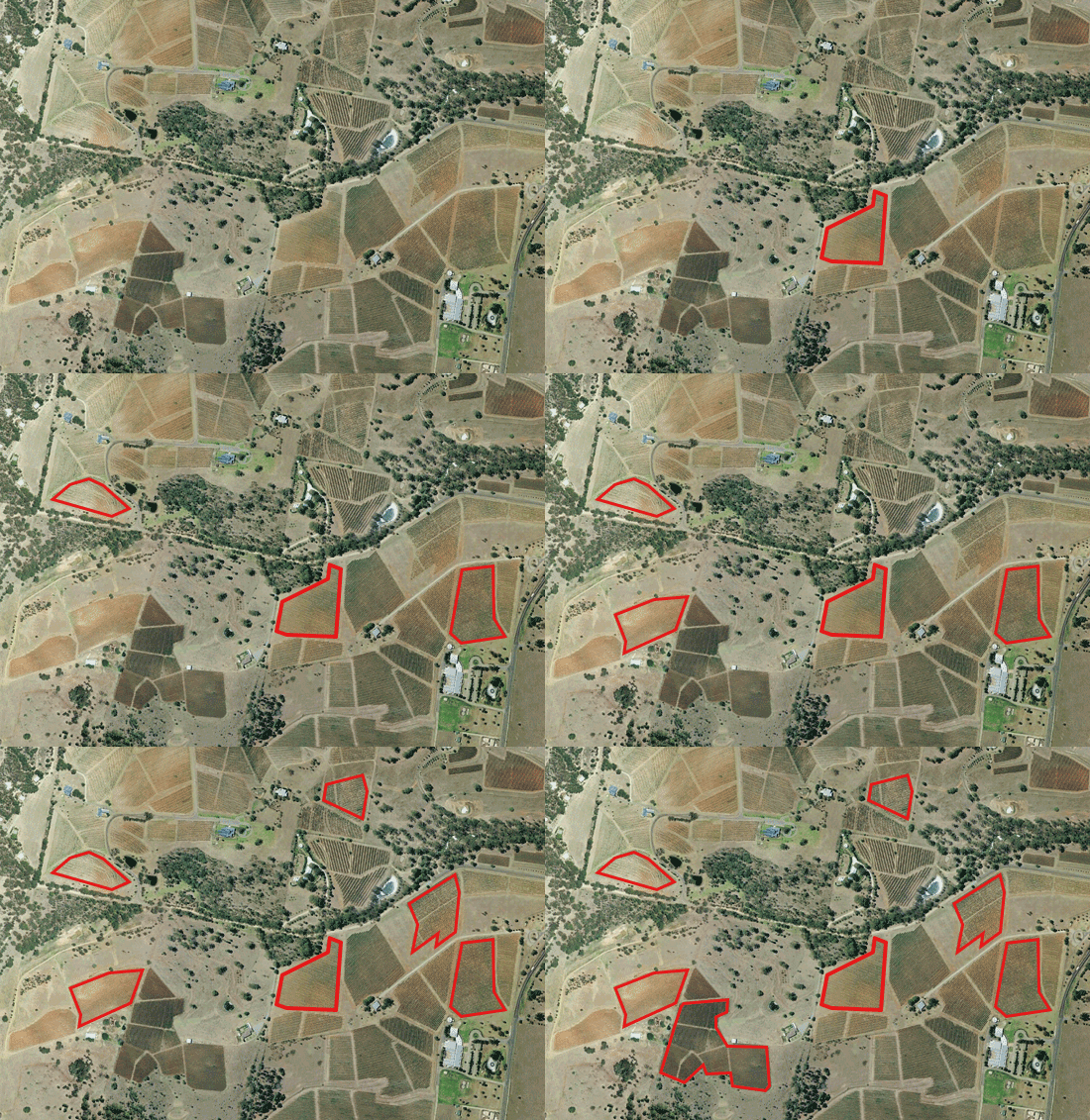
Order high resolution satellite imagery for as little as $10
25km2 minimum order quantities are a thing of the past. In an industry first, Arlula is providing users the ability to purchase high resolution commercial satellite imagery over anywhere on the planet in 1km2 minimum order quantities.

Automated satellite imagery access via the Arlula API
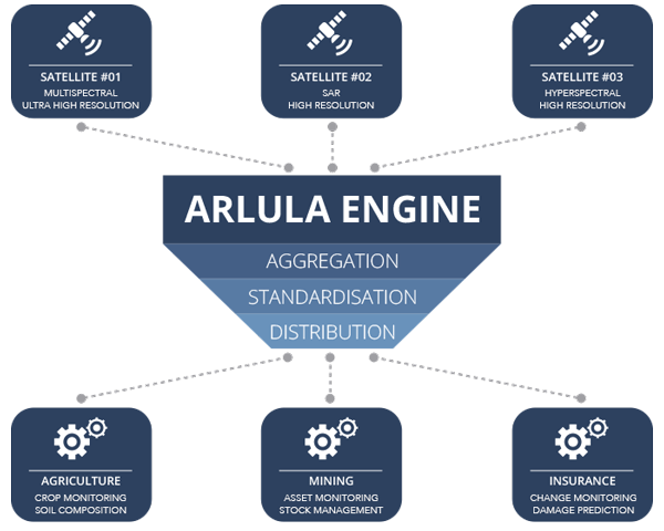
The Arlula API provides scalable and automated access to a range of satellite imagery suppliers. Tap into our new high resolution 1km2 MOQ product at scale by using the Arlula API. Automate the entire searching and ordering process to enhance your procurement workflow with our API infrastructure.
Solve problems using an integrated global network
Integrating satellite imagery into your workflow allows you to:

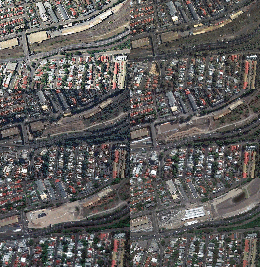
Access an extensive archive of satellite imagery
Gain access to decades of satellite imagery from around the world. Arlula has aggregated extensive satellite imagery archives from our global network of data suppliers to ensure you have a full picture of the Earth.
Purchase Earth observation imagery from our global archive >

OUR EARTH OBSERVATION PARTNERS INCLUDE
Get in touch
If you’d like to learn more about Arlula’s services, please reach out to us using the contact form.
Find Us
Level 1, 608 Harris St,
Ultimo NSW 2007
Australia


